Mapping Cartographic Discourse: Reading the Israel-Palestine Conflict Across In/Visible Borders of the Middle East
by Eda Ozyesilpinar
⁄⁄⁄⁄⁄⁄⁄⁄⁄⁄
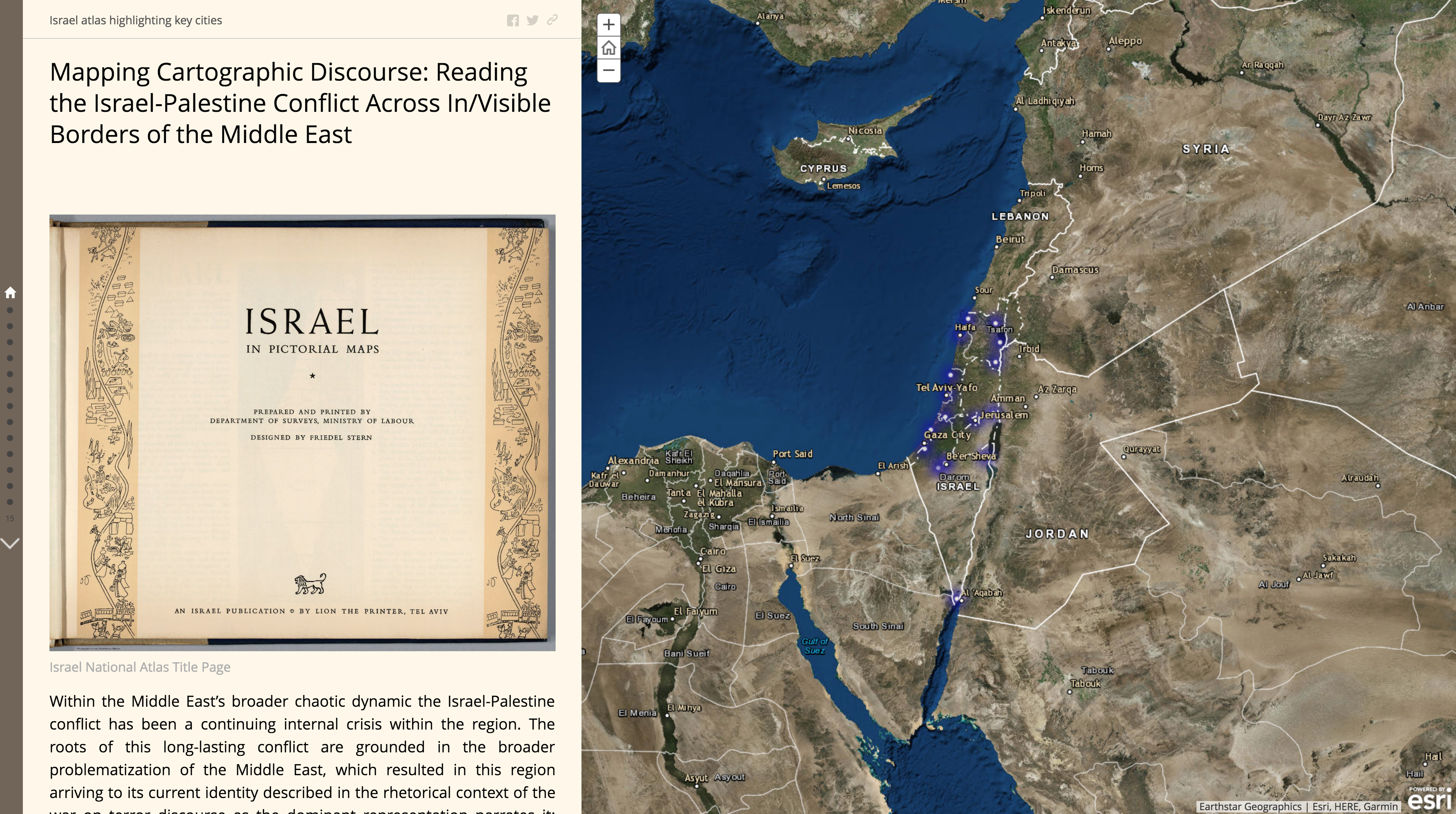
The Israel-Palestine conflict within the Middle East’s broader chaotic dynamic has been a continuing internal crisis within the region. I interpret this conflict as a mirror-image of the Western construction of Middle East’s violent and terrorist identity in the global context. My purpose is to unpack the internalization of the West and Middle East dichotomy in the binary relation between Israel and Palestine around victim and enemy images. I conduct a carto-rhetorical deconstructive mapping on Israel’s 1957 national atlas, Israel in Pictorial Maps. The goal is to reveal that Israel produced its national identity as the eternal victim by defining the Palestinian people as the eternal enemy within and across the shifting borders separating the geographical territories of these two nations. I use a Geographic Information Science (GIS) application system—Story Maps—in my analysis to visualize the internalization and re-narration of victim and enemy images. This cartographic visualization intends to unpack how Israel’s mechanical cartographic reproduction re-invented the image of the alien Orient and the violent Middle Eastern Other in the socio-spatial reality of the Palestinian people. In my research, my plan is to compare the results of this carto-rhetorical deconstructive mapping with the contemporary media representations and coverages of the ongoing conflict between Israel and Palestine in the broader geography of Middle East’s problematic identity issue. The purpose of this comparative rhetorical deconstruction is to unpack how the victim and enemy images of both nations are still at the core of this long-lasting conflict.
⁄⁄⁄⁄⁄⁄⁄⁄⁄⁄
Eda Ozyesilpinar
PhD Candidate in Rhetorics, Communication, and Information Design
Assistant Director of Writing Center
Clemson University